
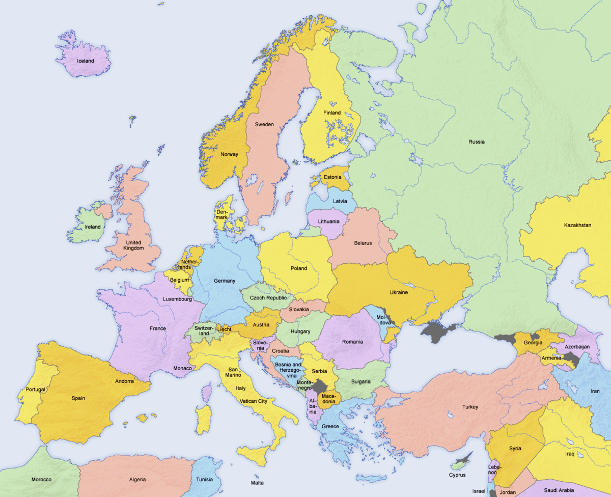
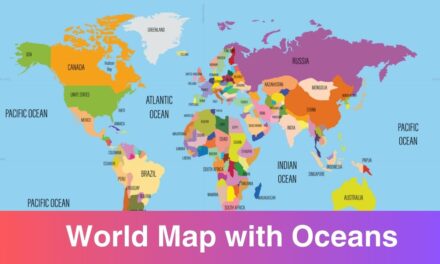
Labeled Map of Europe: Europe is a continent located entirely in the Northern Hemisphere and mostly in the Eastern Hemisphere. If you are living in the Europe continent then you must be aware of the Europe geography. In order to make you familiar with the geography of Europe here we have shared the labeled map of Europe. Geography students, researcher, and explorers can use this map for study purposes. Nothing works better than a labeled map when it comes to study the basic geography of a continent.
Europe is home to some of the highly developed countries in the world. There are numerous gorgeous places to visit in Europe, you can even use these map while travelling to Europe. There are 44 countries in Europe today, according to the United Nations. We have shared the names of all the 44 countries later in this article. Check out the map of Europe labeled here and download one for your use.
Labeled Map of Europe
Europe is not a huge continent in comparison to other continents. There are a total of 7 continents in the world and Europe is the second smallest of the world’s continents, composed of the westward-projecting peninsulas of Eurasia (the great landmass that it shares with Asia) and occupying nearly one-fifteenth of the world’s total land area.
With the help of labeled maps shared here, you can get knowledge about the political and physical borders of the continent. Different type of labeled maps are shared here and each map convey some important geographical information. You can choose to download any map from here that you need and take a print-out for your use.
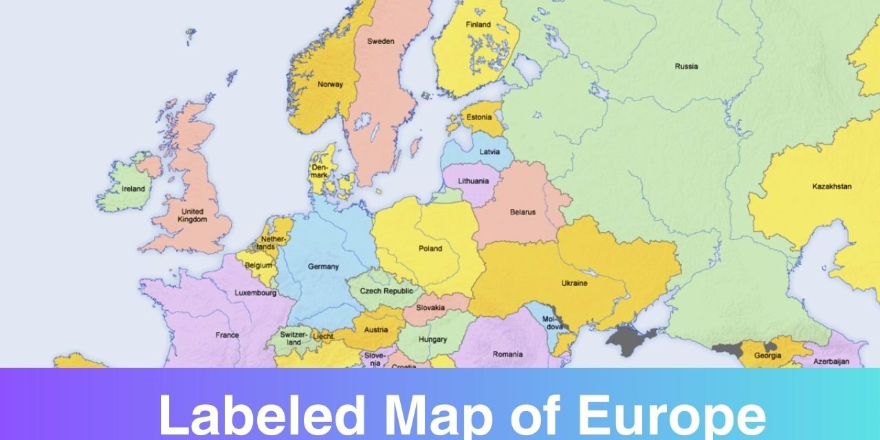
Map of Europe with Countries Labeled
As mentioned above that there are a total of 44 countries in Europe today, according to the United Nations. Those countries are Hungary, Belarus, Austria, Serbia, Switzerland, ,Germany, Holy See, Andorra, Bulgaria, United Kingdom, France, Montenegro, Luxembourg, Italy, Denmark, Finland, Slovakia, Norway, Ireland, Spain, Malta, Ukraine, Croatia, Moldova, Monaco, Liechtenstein, Monaco, Liechtenstein, Poland, Iceland, San Marino, Bosnia and Herzegovina, Albania, Lithuania, North Macedonia, Slovenia, Romania, Latvia, Netherlands, Russia, Estonia, Belgium, Czech Republic, Greece, Portugal, and Sweden.
So these are the names of 44 countries. Apart from these countries, there are Dependencies or other territories i.e. Isle of Man, Faeroe Islands, Gibraltar, and Channel Islands.
You can locate all these countries along with their capitals on the labeled map shared below. With the help of these map, you can see the physical border of each country. This type of maps is useful for travellers as well who are on vacation of Europe.
Labeled Map of Europe with Rivers

If you are interested in knowing about the Rivers of Europe then please check out the map below. The major rivers in the Europe are:
- Danube River
- Dnieper River
- Tagus River
- Volga River
- Don River
- Elbe River
- Po River
- Rhine River
- Loire River
- Oder River
- Rhône River
- River Shannon
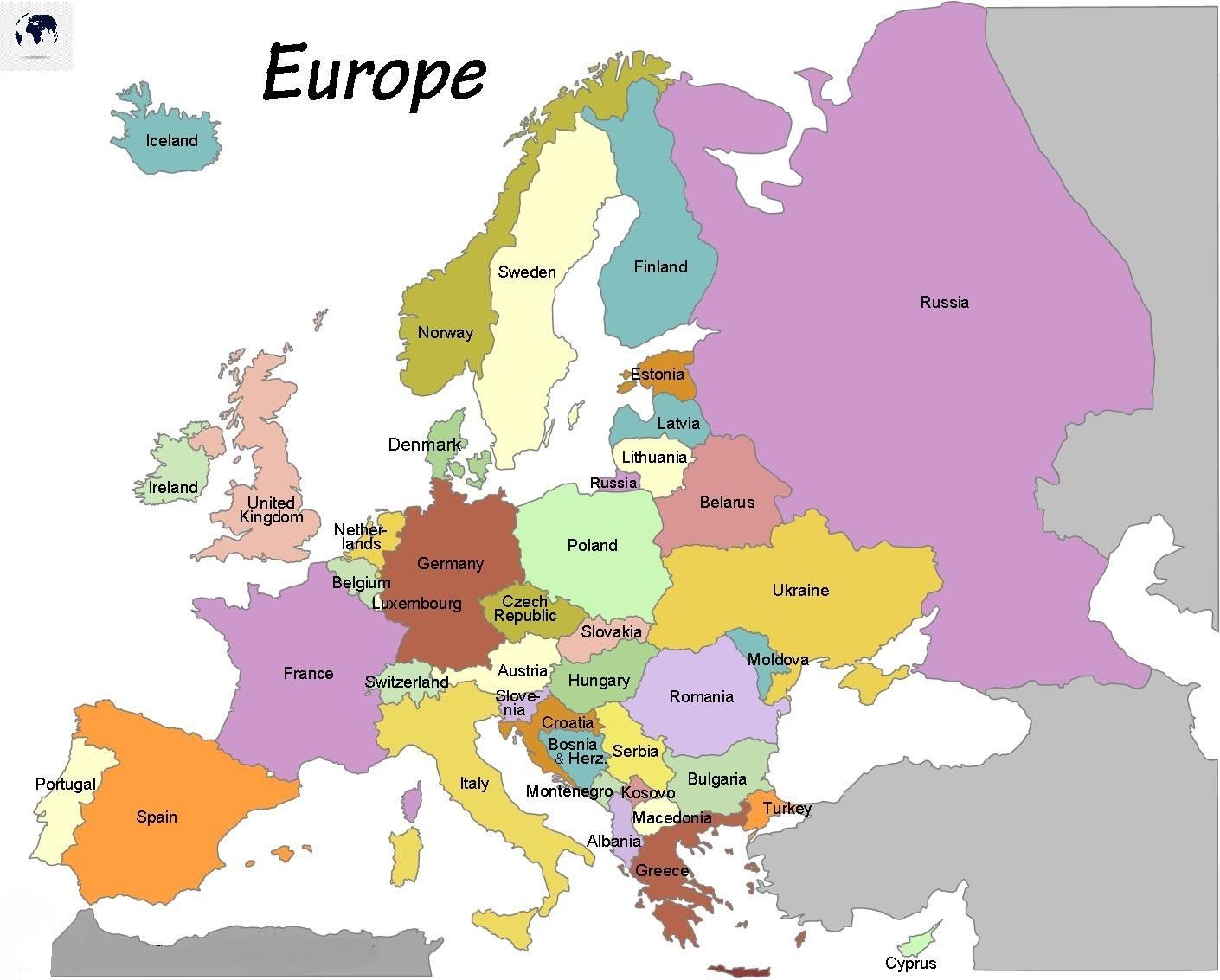
Labeled Map of Europe Map with Capitals
Labeled maps are used by people for geographical knowledge. These maps are most commonly used by students, travellers, and geography researchers. If you are among those people who is looking for an European labeled map then simply download it from this map. People use printable maps these days because they are easier to carry and use. You can even save these maps in your mobile device and access whenever needed.
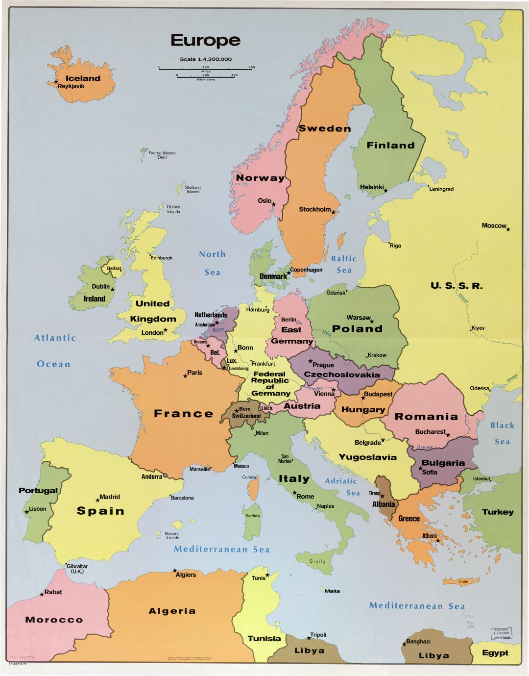
Now you have different type of labeled maps of Europe available for free download. Take a print-out of any of the map from here and start using it. We have tried to only shared the high resolutions maps on this page.